Datei:Wales relief location map.jpg
Größe dieser Vorschau: 502 × 600 Pixel. Weitere Auflösungen: 201 × 240 Pixel | 402 × 480 Pixel | 643 × 768 Pixel | 857 × 1.024 Pixel | 2.000 × 2.390 Pixel.
Originaldatei (2.000 × 2.390 Pixel, Dateigröße: 742 KB, MIME-Typ: image/jpeg)
| Beschreibung |
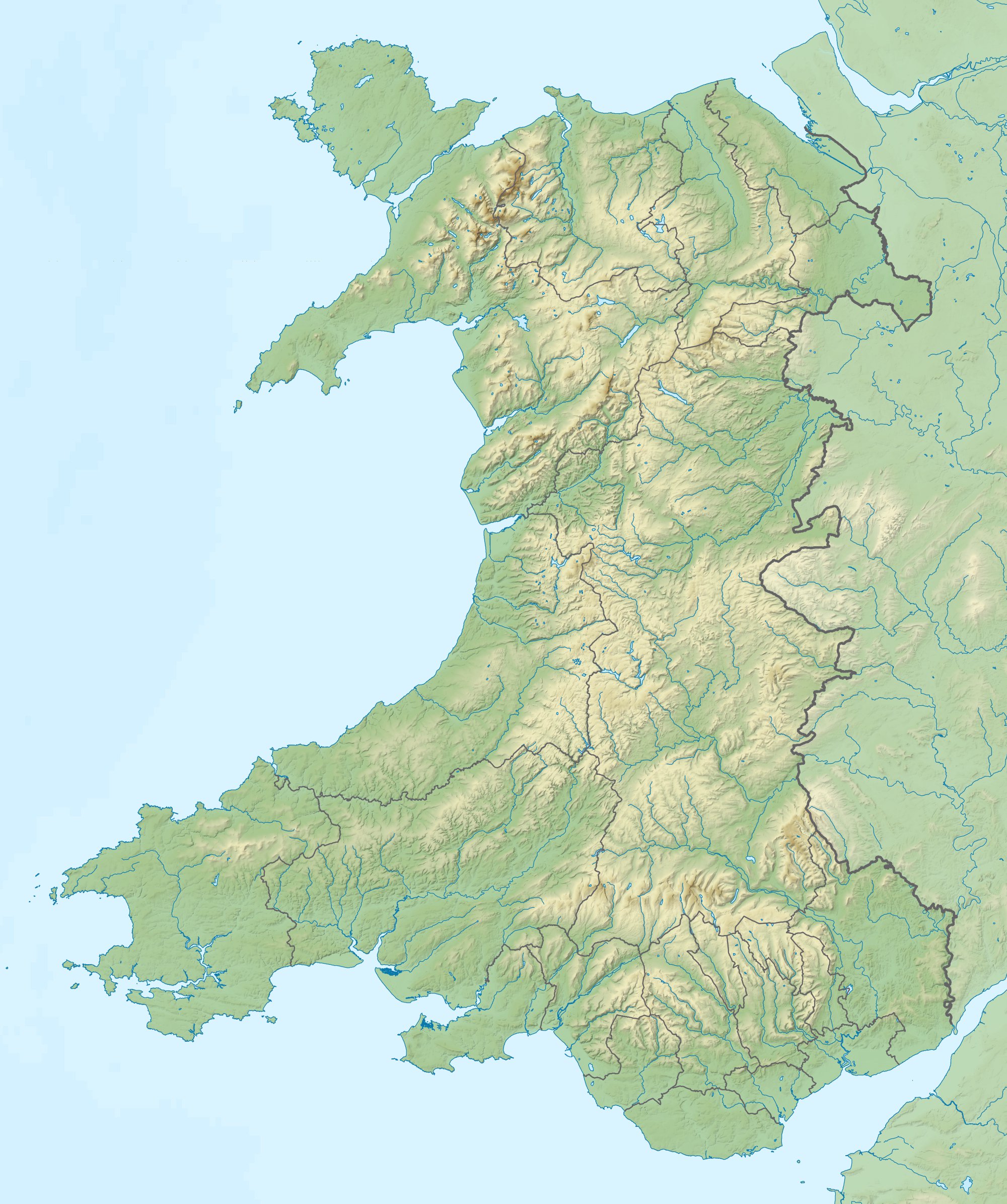
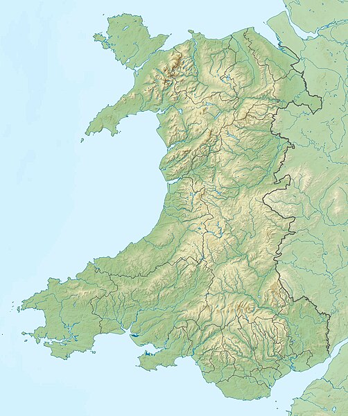
Relief map of Wales, UK. Equirectangular map projection on WGS 84 datum, with N/S stretched 170%
|
| Datum | |
| Quelle |
|
| Urheber | Nilfanion, created using Ordnance Survey data |
| Genehmigung (Weiternutzung dieser Datei) |
Diese Datei ist unter der Creative-Commons-Lizenz „Namensnennung – Weitergabe unter gleichen Bedingungen 3.0 nicht portiert“ lizenziert. Namensnennung: Contains Ordnance Survey data © Crown copyright and database right
|
| Andere Versionen | File:Wales location map.svg - Blank map |
Dateiversionen
Klicke auf einen Zeitpunkt, um diese Version zu laden.
| Version vom | Vorschaubild | Maße | Benutzer | Kommentar | |
|---|---|---|---|---|---|
| aktuell | 13:53, 9. Dez. 2011 | | 2.000 × 2.390 (742 KB) | wikimediacommons>Nilfanion | {{Information |Description=Relief map of Wales, UK. Equirectangular map projection on WGS 84 datum, with N/S stretched 170% *West: 5.5W *East: 2.5W *North: 53.5N *South: 51.3N |Source=Ordnance Survey [https://www.ordnan |
Dateiverwendung
Die folgende Seite verwendet diese Datei: