Datei:Map of Cyrenaica.png

Größe dieser Vorschau: 800 × 543 Pixel. Weitere Auflösungen: 320 × 217 Pixel | 640 × 434 Pixel | 918 × 623 Pixel.
Originaldatei (918 × 623 Pixel, Dateigröße: 92 KB, MIME-Typ: image/png)
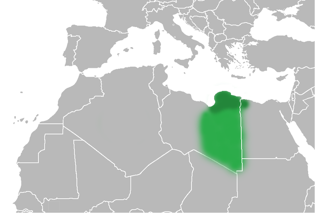
| Beschreibung | The Ottoman Turks conquered the country in the mid-16th century, and the three States or "Wilayat" of Tripolitania, Cyrenaica and Fezzan (which make up Libya) remained part of their empire with the exception of the virtual autonomy of the Karamanlis. The Karamanlis ruled from 1711 until 1835 mainly in Tripolitania, but had influence in Cyrenaica and Fezzan as well by the mid 18th century. |
| Datum | (UTC) |
| Quelle | |
| Urheber |
|
| Andere Versionen | File:Map of Cyrenaica.svg |
.png)
| Dieses Bild wurde digital nachbearbeitet. Folgende Änderungen wurden vorgenommen: changes of area Cyrenaica. Das Originalbild kann hier eingesehen werden: Ottoman Provinces Of Present day Libyapng.png:
|
| Ich, der Urheberrechtsinhaber dieses Werkes, veröffentliche es als gemeinfrei. Dies gilt weltweit. In manchen Staaten könnte dies rechtlich nicht möglich sein. Sofern dies der Fall ist: Ich gewähre jedem das bedingungslose Recht, dieses Werk für jedweden Zweck zu nutzen, es sei denn, Bedingungen sind gesetzlich erforderlich. |
Ursprüngliches Datei-Logbuch
This image is a derivative work of the following images:
- File:United_States_of_North_Africa_Locator.png licensed with PD-self
- 2010-03-26T13:53:08Z Roxanna 1160x1056 (29795 Bytes) {{Information |Description={{en|1="United States of North Africa" (proposal by President [[en:Habib Bourguiba]] for Tunisia, Algeria and Libya 1973) and "Arab Islamic Republic" (proposal by [[en:Muammar al-Gaddafi]] for a uni
- File:Ottoman_Provinces_Of_Present_day_Libyapng.png licensed with PD-self
Hochgeladen mit derivativeFX
Dateiversionen
Klicke auf einen Zeitpunkt, um diese Version zu laden.
| Version vom | Vorschaubild | Maße | Benutzer | Kommentar | |
|---|---|---|---|---|---|
| aktuell | 22:51, 1. Jul. 2010 | | 918 × 623 (92 KB) | wikimediacommons>Felitsata | change of border |
Dateiverwendung
Die folgende Seite verwendet diese Datei: