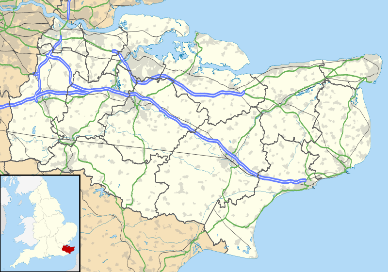
Datei:Kent UK location map.svg

Größe der PNG-Vorschau dieser SVG-Datei: 800 × 561 Pixel. Weitere Auflösungen: 320 × 225 Pixel | 640 × 449 Pixel | 1.024 × 719 Pixel | 1.280 × 898 Pixel | 2.560 × 1.796 Pixel | 1.425 × 1.000 Pixel.
Originaldatei (SVG-Datei, Basisgröße: 1.425 × 1.000 Pixel, Dateigröße: 2,11 MB)
| Beschreibung |
Map of Kent, UK with the following information shown:
Equirectangular map projection on WGS 84 datum, with N/S stretched 160% Geographic limits:
|
| Datum | |
| Quelle |
|
| Urheber | Nilfanion, created using Ordnance Survey data |
| Genehmigung (Weiternutzung dieser Datei) |
Diese Datei ist unter der Creative-Commons-Lizenz „Namensnennung – Weitergabe unter gleichen Bedingungen 3.0 nicht portiert“ lizenziert. Namensnennung: Contains Ordnance Survey data © Crown copyright and database right
|
| Andere Versionen | File:Kent UK district map (blank).svg - Blank map |
.svg)
Dateiversionen
Klicke auf einen Zeitpunkt, um diese Version zu laden.
| Version vom | Vorschaubild | Maße | Benutzer | Kommentar | |
|---|---|---|---|---|---|
| aktuell | 20:58, 26. Sep. 2010 | | 1.425 × 1.000 (2,11 MB) | wikimediacommons>Nilfanion | {{Information |Description=Map of Kent, UK with the following information shown: *Administrative borders *Coastline, lakes and rivers *Roads and railways *Urban areas Equirectangular map projection on WGS 84 datum, with N/S stretched 160% Geo |
Dateiverwendung
Die folgende Seite verwendet diese Datei: