Datei:South Africa Gauteng location map.svg

Größe der PNG-Vorschau dieser SVG-Datei: 608 × 599 Pixel. Weitere Auflösungen: 243 × 240 Pixel | 487 × 480 Pixel | 779 × 768 Pixel | 1.039 × 1.024 Pixel | 2.077 × 2.048 Pixel | 1.061 × 1.046 Pixel.
Originaldatei (SVG-Datei, Basisgröße: 1.061 × 1.046 Pixel, Dateigröße: 97 KB)
Beschreibung
| Beschreibung |
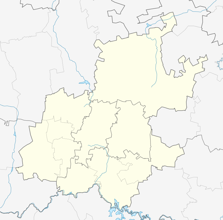
English: Location map of Gauteng
Equirectangular projection, N/S stretching 111%. Geographic limits of the map:
|
| Datum | |
| Quelle |
|
| Urheber | Htonl |
| Genehmigung (Weiternutzung dieser Datei) |
Ich, der Urheber dieses Werkes, veröffentliche es unter der folgenden Lizenz: Diese Datei ist unter der Creative-Commons-Lizenz „Namensnennung – Weitergabe unter gleichen Bedingungen 3.0 nicht portiert“ lizenziert.
|
| Andere Versionen | File:South Africa Gauteng relief location map.svg, File:Blank map of Gauteng (2011).svg |
.svg)
Dateiversionen
Klicke auf einen Zeitpunkt, um diese Version zu laden.
| Version vom | Vorschaubild | Maße | Benutzer | Kommentar | |
|---|---|---|---|---|---|
| aktuell | 22:22, 5. Jan. 2013 | | 1.061 × 1.046 (97 KB) | wikimediacommons>Htonl | == {{int:filedesc}} == {{Information |Description ={{en|Location map of en:Gauteng Equirectangular projection, N/S stretching 111%. Geographic limits of the map: * N: 25° S * S: 27° S * W: 27° E * E: 29.25° E}} |Source = * Boundari... |
Dateiverwendung
Die folgenden 2 Seiten verwenden diese Datei: