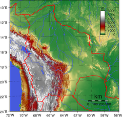
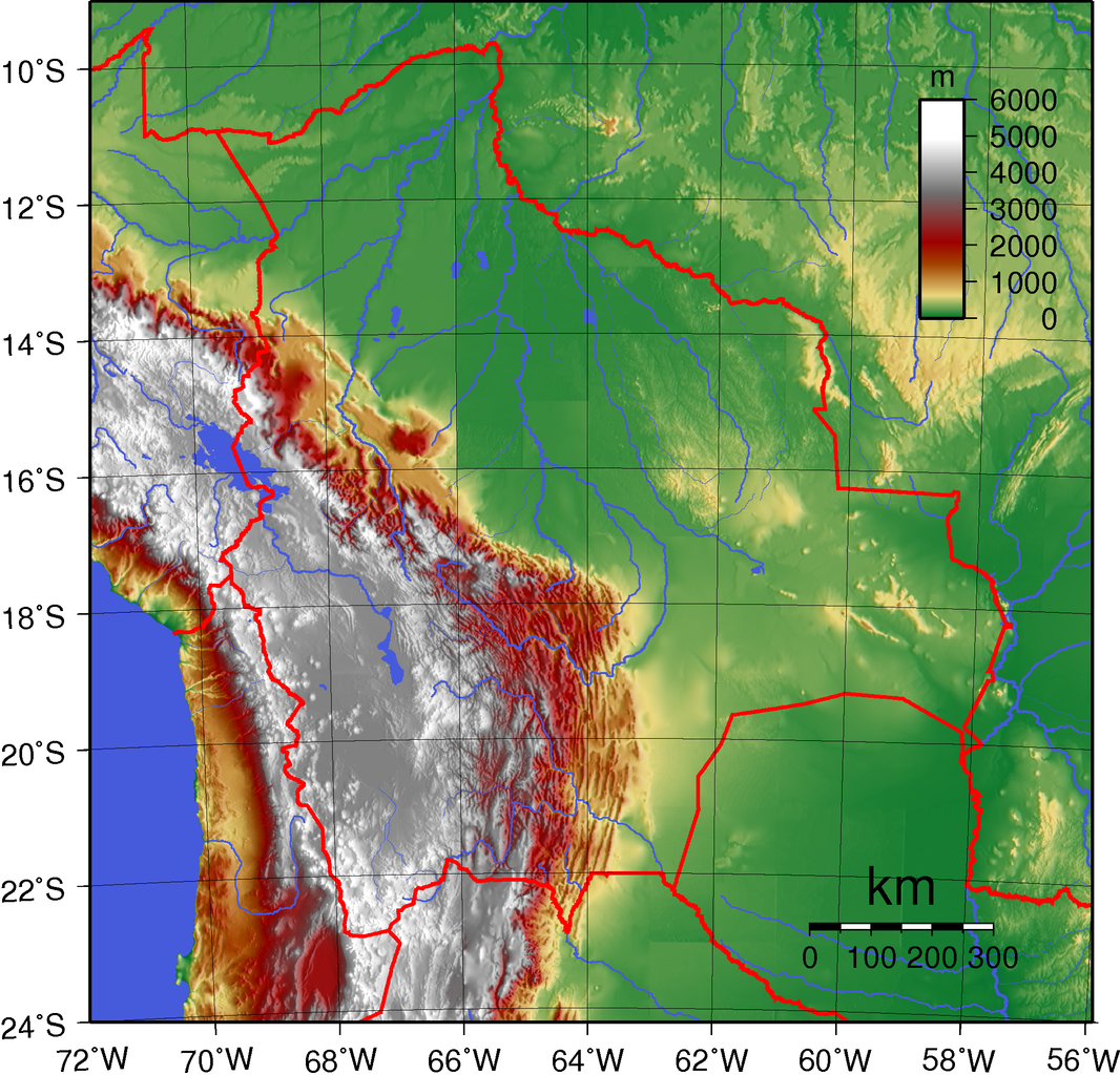
Datei:Bolivia Topography.png

Größe dieser Vorschau: 624 × 599 Pixel. Weitere Auflösungen: 250 × 240 Pixel | 500 × 480 Pixel | 800 × 768 Pixel | 1.066 × 1.024 Pixel | 2.077 × 1.995 Pixel.
Originaldatei (2.077 × 1.995 Pixel, Dateigröße: 3,35 MB, MIME-Typ: image/png)
Beschreibung
| Beschreibung | Topographic map of Bolivia. Created with GMT from public domain GLOBE data. |
| Datum | |
| Quelle | Eigenes Werk |
| Urheber | Sadalmelik |
Lizenz
| Dieses Werk wurde von seinem Urheber I, Sadalmelik als gemeinfrei veröffentlicht. Dies gilt weltweit. In manchen Staaten könnte dies rechtlich nicht möglich sein. Sofern dies der Fall ist: I, Sadalmelik gewährt jedem das bedingungslose Recht, dieses Werk für jedweden Zweck zu nutzen, es sei denn, Bedingungen sind gesetzlich erforderlich. |
Dateiversionen
Klicke auf einen Zeitpunkt, um diese Version zu laden.
| Version vom | Vorschaubild | Maße | Benutzer | Kommentar | |
|---|---|---|---|---|---|
| aktuell | 21:15, 12. Jun. 2007 | | 2.077 × 1.995 (3,35 MB) | wikimediacommons>Sadalmelik | {{Information |Description=Topographic map of Bolivia. Created with GMT from public domain GLOBE data. |Source=self-made |Date=June 12, 2007 |Author= Sadalmelik }} Category:Maps of Bolivia [[Category:Topographic maps of the Americ |
Dateiverwendung
Die folgende Seite verwendet diese Datei: